RESEARCH PROJECTS
PI-CASC supports research that generates actionable climate science within several key focus areas defined by regional stakeholder needs.
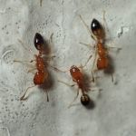
Developing methods to manage Trichomyrmex destructor at Midway Atoll
PI: Jonathan Plissner, Supervisory Biologist, Midway Atoll National Wildlife Refuge and Battle of Midway National Memorial, USFWS
Co-I: Helen Sofaer, Pacific Island Ecosystems Research Center
Funded: FY2024
Co-I: Helen Sofaer, Pacific Island Ecosystems Research Center
Funded: FY2024
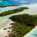
Vegetation and climate reconstructions for Palmyra Atoll to develop adaptation strategies for lowland plant communities
PI: David Wahl, Research Scientist, Geology, Minerals, Energy and Geophysics Science Center, USGS
Co-Is: Miriam Jones, Research Geologist, USGS; Kelly Goodale Wildlife Biologist, US Fish and Wildlife Service
Funded: FY2024
Co-Is: Miriam Jones, Research Geologist, USGS; Kelly Goodale Wildlife Biologist, US Fish and Wildlife Service
Funded: FY2024
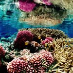
Unlocking reef resilience drivers to inform Pacific coral reef management
PI: Megan Donahue, Marine Researcher, HIMB, UH Mānoa
Graduate Scholar: Jessica Glazner, Dept of Marine Biology, UH Mānoa
Co-I: Chad Wiggins, Palmyra Program Director, The Nature Conservancy
Funded: FY2022
Graduate Scholar: Jessica Glazner, Dept of Marine Biology, UH Mānoa
Co-I: Chad Wiggins, Palmyra Program Director, The Nature Conservancy
Funded: FY2022
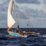
Using oral histories of Marshallese and Yapese voyaging to develop sustainable sea transport
PI: Joseph Genz, Associate Professor of Anthropology, UH Hilo
Graduate Scholars: Jerolynn Myazoe, Dept of Anthropology, UH Hilo; Shania Tamagyongfal, Dept of Anthropology, UH Hilo
Co-I: Alexander Mawyer, Associate Professor, Center for Pacific Island Studies, UH Mānoa
Funded: FY2022
Graduate Scholars: Jerolynn Myazoe, Dept of Anthropology, UH Hilo; Shania Tamagyongfal, Dept of Anthropology, UH Hilo
Co-I: Alexander Mawyer, Associate Professor, Center for Pacific Island Studies, UH Mānoa
Funded: FY2022

Developing a Pacific mangrove monitoring network (PACMAN) in response to sea-level rise
PI: Richard Mackenzie, Research Ecologist, USDA FS Pacific Southwest Research Station
Graduate Scholar: Maybeleen Apwong, TCBES, UH Hilo
Funded: FY2022
Graduate Scholar: Maybeleen Apwong, TCBES, UH Hilo
Funded: FY2022
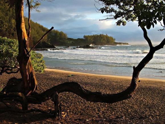
Developing the American Samoa climate and GIS data portal
PI: Christopher Shuler, Assistant Hydrologist, Water Resources Research Center, UH Mānoa
Graduate Scholar: Annie Chien, Earth and Planetary Sciences, UH Mānoa
Funded: FY2021
Graduate Scholar: Annie Chien, Earth and Planetary Sciences, UH Mānoa
Funded: FY2021
Enhancing Stakeholder Capacity for Coastal Inundation Assessment in the Marshall Islands
PI: Dean Gesch, Research Scientist, USGS Earth Resources Observation and Science (EROS) Center
Funded: FY2020
Funded: FY2020

Using cutting-edge technology to assess coral reef bleaching and recovery in Guam and CNMI
PI: Romina King, Associate Professor of Geography, University of Guam
Co-PI: Ved Chirayath, Research Scientist, NASA Ames Research Center
Funded: FY2020
Co-PI: Ved Chirayath, Research Scientist, NASA Ames Research Center
Funded: FY2020
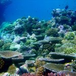
Sea-level rise impacts on coral reef and mangrove interactions and resulting coastal flooding hazards
PI: Curt Storlazzi, Research Geologist, USGS Pacific Coastal and Marine Science Center
Co-I: Karen Thorne, Research Ecologist, USGS Western Ecological Research Center
Funded: FY2020
Co-I: Karen Thorne, Research Ecologist, USGS Western Ecological Research Center
Funded: FY2020
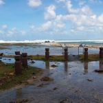
The impact of climate change and sea-level rise on the future flooding of coastal parks and refuges in Hawaiʻi and the US Affiliated Pacific Islands
PI: Curt Storlazzi , Research Geologist, USGS Pacific Coastal and Marine Science Center
Funded: FY2019
Funded: FY2019
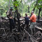
The future resiliency of mangrove forests to sea-level rise in the Western Pacific
PI: Karen Thorne, Research Ecologist, USGS Western Ecological Research Center
Co-I: Richard MacKenzie, Research Ecologist, US Forest Service
Funded: FY2019
Co-I: Richard MacKenzie, Research Ecologist, US Forest Service
Funded: FY2019

Water Quality in the face of Climate Change: Establishing a baseline in Pohnpei, Federated States of Micronesia
PI: Tracy Wiegner, Assoc. Professor of Marine Science, UH Hilo
Graduate Scholar: Bryan Tonga, Tropical Conservation Biology & Environmental Science, UH Hilo
Funded: FY2019
Graduate Scholar: Bryan Tonga, Tropical Conservation Biology & Environmental Science, UH Hilo
Funded: FY2019
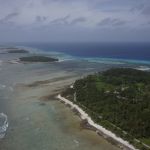
Characterizing inundation risk for Majuro Atoll
PI: Dean Gesch, Research Scientist, USGS Earth Resources Observation and Science (EROS) Center
Co-I: Jeff Danielson , Physical Geographer, USGS Earth Resources Observation and Science (EROS) Center
Funded: FY2017
Co-I: Jeff Danielson , Physical Geographer, USGS Earth Resources Observation and Science (EROS) Center
Funded: FY2017


