The impact of climate change and sea-level rise on the future flooding of coastal parks and refuges in Hawaiʻi and the US Affiliated Pacific Islands

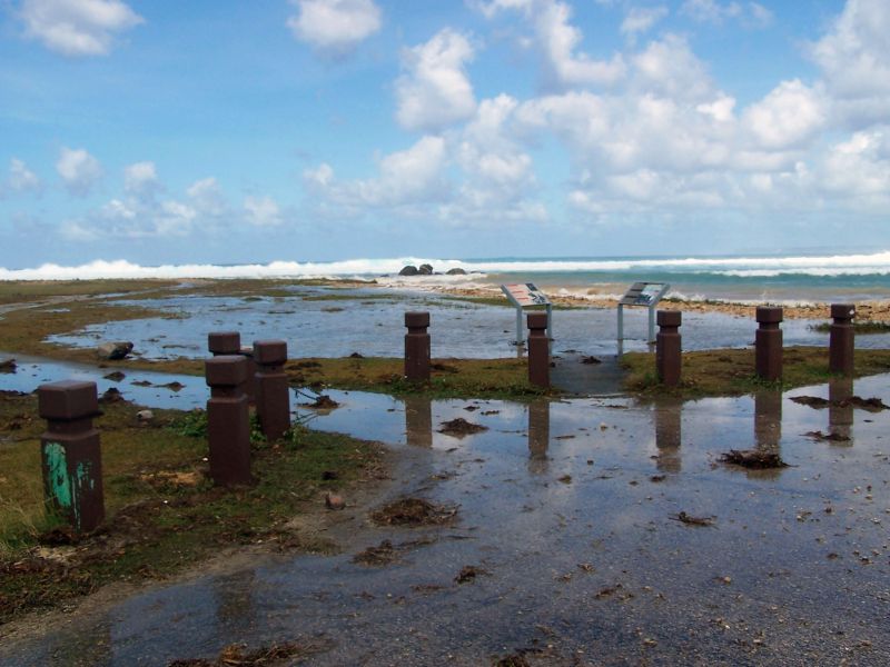
The Pacific Ocean is home to a number of low-lying, coastal national parks and wildlife refuges. These public lands are situated on coral reef-lined islands that are susceptible to inundation from sea-level rise and flooding during storms. Because of their low-lying nature and limited availability of space, ecosystems, cultural resources, and infrastructure on these islands are particularly vulnerable to flooding. Sea-level rise will further exacerbate the impact of storms on island parks and refuges by increasing wave-driven coastal flooding, with consequences for ecological and human communities alike. However, most assessments of future conditions at coastal national parks and refuges consider only permanent inundation from sea-level rise and fail to account for the combined effects of storm-driven flooding and sea-level rise. As a result, predictions of future inundation often underestimate the timing and magnitude of future flooding, because they are only considering one part of the picture.
The National Park Service (NPS) and the U.S. Fish and Wildlife Service (USFWS) need accurate projections of inundation and flooding in order to develop effective adaptation plans that can help avoid or reduce the loss of invaluable natural and cultural resources and costly damage to critical infrastructure in the USAPI. To address this need, researchers will model future coastal flooding based on different plausible scenarios of storm- and sea-level rise-induced flooding in Hawaiʻi and the USAPI. This effort will result in high-resolution (~10 m2) maps of potential future inundation at national parks in Hawaiʻi, Guam, Saipan, and American Samoa and national wildlife refuges on the islands of Maui, Oʻahu, Kauaʻi, Molokaʻi, and Guam. Researchers will also assess what the different inundation scenarios could mean for natural and biological resources on these islands. The results will help to reduce the risk and increase the resiliency of NPS and USFWS lands on low-lying islands and provide sound scientific guidance for current and future NPS and USFWS management decisions.
PROJECT DETAILS
FUNDED:
FY2019
PI:
Curt Storlazzi
Research Geologist, USGS Pacific Coastal and Marine Science Center

