International COP26 Recognition for Long-Term Coastal Erosion Research Relationship between Hawaiʻi County, UH Hilo, and PI-CASC
November 24, 2021
A Hawaiʻi Island-based coastal setback project and its leaders were featured in a video during a panel of community adaptation and resilience leaders discussing adaptation projects from across the U.S. on November 8th. The video spotlight was a part of the COP26 Resilience Hub webinar, which could be accessed virtually around the world and live streamed in Glasgow, Scotland at COP26.
The video spotlights an ongoing Pacific Islands Climate Adaptation Science Center (PI-CASC) Manager Climate Corps (MCC) collaboration focused on generating a shoreline inventory for Hawaiʻi Island. The featured project collaborators in the video are Co-leads Bethany Morrison from the Hawaiʻi County Planning Department and Dr. Ryan Perroy from the UH Hilo Department of Geography & Environmental Science, alongside UH Hilo Tropical Conservation Biology and Environmental Science (TCBES) graduate student Aloha Kapono. Together they are creating 3D models of coastal areas to both deepen our understanding of sea level rise (SLR) vulnerabilities and to create tools the County and others can use to build community resilience to SLR threats.
Foundations in relationships
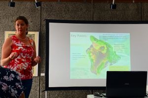
The current shoreline inventory project is a result from previously built relationships and research. The foundational relationships for this project were initially built in January 2016 during a PI-CASC MCC knowledge co-production meeting with interdisciplinary faculty and interested resource management groups at UH Hilo. There, Morrison was a part of early discussions focused on directly supporting local manager networks through collaborative research and growing knowledge networks.
By engaging with Morrison and the Hawaiʻi County Planning Dept, UH Hilo researchers and PI-CASC were able to better understand where their science could help to inform urgent needs. One of the highest priority planning needs is the development of more effective and site-specific setback policy. Unfortunately, the current policies do not account for varying shoreline erosion rates around the island. For example, the same setback distance is prescribed to new developments on sea cliffs along the Hāmākua coast, sandy beaches in Kona, and rocky shorelines in Puna.
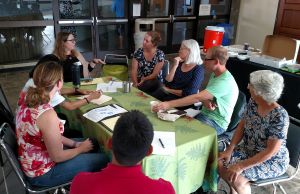
To begin to understand how different shorelines respond to various erosion threats like landslides and sea-level rise, the MCC staff worked with Morrison to create a place-based experience that advances UH Hilo research products, graduate degree programs, and more. Morrison was already working with then UH Hilo undergraduate, Rose Hart at the Planning Dept. though an internship. This pre-established relationship was beneficial to maintaining trust when Hart took on a leadership role in the research.
Morrison and TCBES graduate student Hart officially joined Perroy and the UH Hilo Spatial Data and Visualization (SDAV) Lab in a manager-driven research project with the MCC program in the Fall of 2016. Their two year collaboration allowed Hart and Perroy to pilot the remote sensing methods and predictive shoreline change models necessary to conduct Kapono’s baseline coastal survey work. Their highly productive collaboration set the tone for future projects and confirmed trust across all parties. Regionally and nationally the team’s collaboration also served as a model case study published by the U.S. Climate Resilience Toolkit in support of other manager-driven research efforts.
“As an island in the middle of the Pacific, we value and rely on our relationships to help us find place-based solutions to our wicked climate issues. In particular, our relationship with the Pacific Islands Climate Adaptation Science Center (PI CASC) Manager Climate Corps (MCC) and the UH Hilo Spatial Data and Visualization (SDAV) Lab has not only led to applied solutions but also to supporting the place-based development of our next generation of scientists.” – Bethany Morrison, County of Hawaiʻi Planning
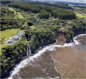
During Hart’s project, their team engaged directly with community members to ensure their research products met localized needs. This regular interaction with project partners led to the specific calls for adaptive coastal policy within the Hāmākua Community Development Plan and Hawaiʻi County General Plan. It also spawned a new partnership between Hawaiʻi County, the Hawaiʻi Department of Business, Economic Development, & Tourism, the Hawaiʻi State Coastal Zone Management Program, and FEMA to begin quantifying historic shoreline rates in order to develop coastal setback and riparian buffer management tools and policies.
With Kapono’s current research, this long-term collaboration will continue to help develop policies and management practices that leave communities and resource managers with more tools and information to prepare and adapt for coastal change. A critical component to this project and featured video is the sustained relationships between end users and those who intend to create actionable science.
Mari-Vaughn Johnson, PI–CASC’s federal director, said, “I love the way it showcases how community-based solutions to climate change can work. This project’s deepening of the relationship between UH Hilo and county planners, and contribution to the capacity of the next generation of climate adaptation scientists and managers, is as valuable as the scientific literacy this tool creates.”
Making of the video
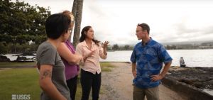
This incredible video was accomplished because of the long-lasting relationship between the Hawaiʻi County Planning Department, UH Hilo, and the PI-CASC MCC program. The team was able to pull together this video in a few weeks thanks to strong pre-existing relationships that allowed the video-making process to move at the speed of trust. Scott Laursen, PI-CASC Climate Adaptation Extension Specialist, has been with the MCC program from its inception and was essential to bringing everyone together to make it happen.
This video opportunity was a shining example of the MCC’s foundations in relationships as project partners quickly collaborated on the video planning and script, while Laursen figured out video filming logistics. Laursen was essential to partnering with Ricky Tabandera, who is a recent UH Hilo TCBES graduate student and now works with NOAA as a Fish Biologist. Tabandera provided the professional filming and audio recording services that resulted in the amazing video footage. Laursen also put the last pieces of the puzzle together by engaging with CASC and USGS Communications to secure video editing and sharing expertise. In fact, in 2016 Laursen worked with USGS Office of Communications and Publishing staff member, Ryan McClymont, to create a 10-minute documentary that allowed for the necessary trust to be built so that this strong partnership could be continued and this recent video produced and hosted rapidly.
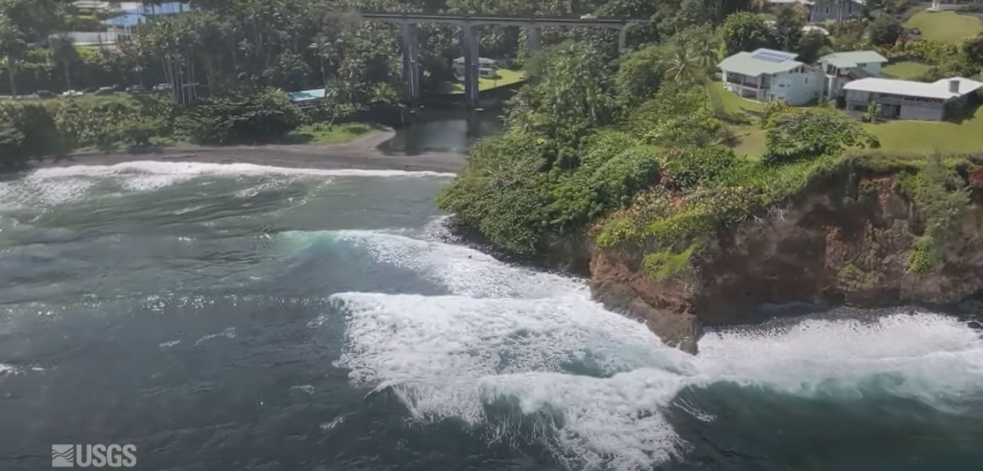
By the day of filming at Moku Ola on Hawaiʻi Island, it was smooth sailing due to the excellent preparation and planning by the team. The only thing really worrying the team was the rainy weather, but as soon as everyone arrived on site the light rain and winds cleared and the sun came out. Even the ocean seemed to be participating with dramatic wave splashes underlining the threat of SLR. So, it almost felt as if the elements were giving their go ahead too.
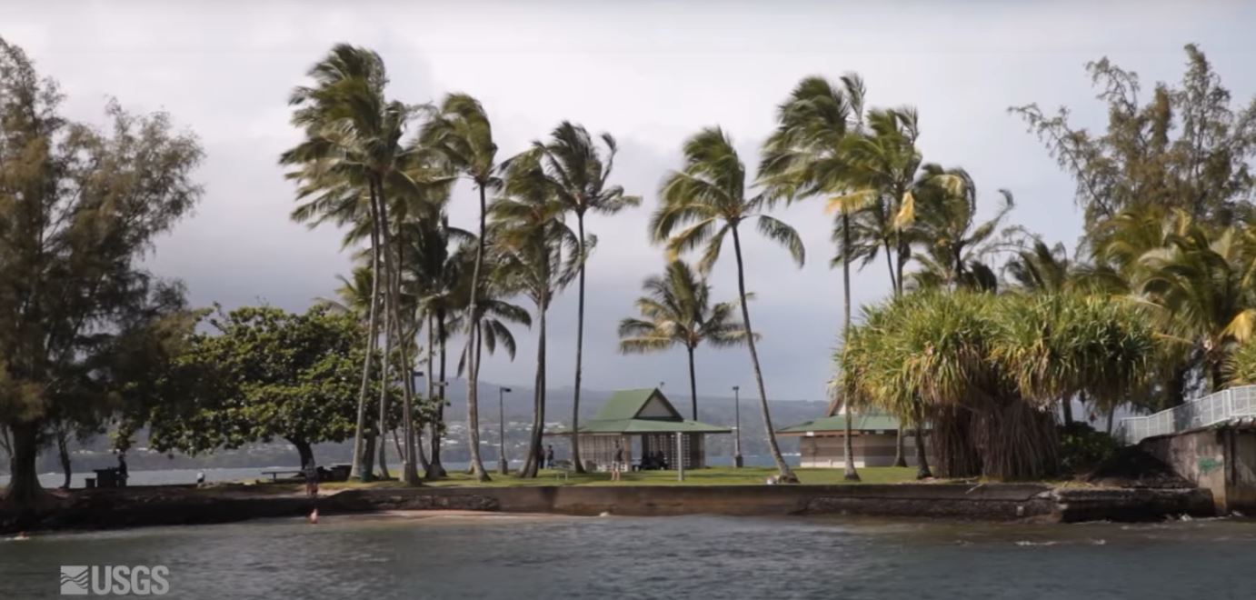
“This video effort was an testament of the value of our tight bonds and interconnected relationships to mobilize around common goals. This opportunity also allowed us the time and space to reconnect and bond together in-person in a safe and healing place at Moku Ola, literally, healing island.” – Bethany Morrison, County of Hawaiʻi Planning
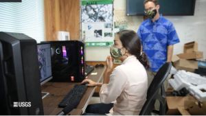
Tabandera created a comfortable, light-hearted space and gave professional instruction to help everyone feel at ease. PI-CASC staff Darcy Yogi also helped to interview the superstar partners so they could speak more naturally rather than into a camera. Once the interviews were over, the research team continued over to the SDAV Lab at UH Hilo to film some B-roll footage of their science at work. In total, the video took one afternoon to film thanks to the incredible partners.
Once filming was complete, the final video was expeditiously produced and edited by Peter Pearsall in the USGS Office of Communications and Publishing. Pearsall was an excellent collaborator with the video team as he regularly shared drafts and continuously incorporated feedback. Pearsall used his keen eye to supplement the interviews with USGS video content and smoothly integrated helicopter footage from Perroy and Kapono’s work. Pearsall and McClymont were essential to getting the video produced and uploaded to the USGS YouTube channel where it closes in on 5,000 views. This video-making opportunity spawned a major networking expansion pointing to a future film capacity growth for PI-CASC.
The video was limited to a few co-leads, but there is a bigger team that supports this work on the ground, including Erica Ta and Hannah Hartmann (UH Hilo students), Eszter Collier and Naiʻa Odachi (geospatial analysts), Steven Colbert (UH Hilo Marine Science), and Volcano Helicopters.
Designed to advance resilience
The purpose of the COP26 Resilience Hub is to advance adaptation and support collective resilience at COP26 and beyond, which made it an excellent host for the “Communities on the front line and the locals that support them” event. At the webinar, Doug Beard, Chief of the National CASC premiered the featured PI CASC video and another video from the Alaska CASC after he shared about the CASCs efforts in supporting on-the-ground adaptation.
The webinar panelists and special guests generated a balanced and authentic discussion on supporting resiliency for vulnerable communities as a part of the COP26 Adaptation and Loss Day. All of the speakers showed direct connections between adaptation science and their applications in supporting policy decisions. Even with the looming impacts of climate change, leaders from communities on the front line showed strength and shared solutions of hope. To experience the session for yourself, you can watch the entire session online here.
“I was deeply moved by the unique balance achieved in this session of agency leads and high-level expression from experience, alongside wide-ranging voices across communities and across the nation,” said Scott Laursen, co-developer of the PI-CASC Manager Climate Corps. “In each case, on-the-ground voices demonstrated strength through union and empathy, amid vulnerability and great challenges.”
26th Conference of the Parties
COP26 is considered the 2021 United Nations Climate Change Conference and ran from October 31st to November 12th in Glasgow, Scotland. Over 12 days, world leaders gathered with negotiators, government representatives, businesses, and engaged citizens to develop strategies for addressing critical climate change needs. This year’s conference required much more aggressive commitments as the window for effectively limiting emissions is closing.
This year’s COP26 took place five years after the Paris Agreements were first put in place at the 2015 COP21. The Agreements were landmark achievements as countries finally agreed to aim for a global warming limit of 1.5 degrees and to make money available to deliver on that. To further achieve this goal, countries committed to reduce their emissions and decided the reduction strategies would be updated every five years. That makes COP26 a crucial year for setting the tone and urgency within a quickly narrowing window to adapt to and mitigate the ultimate drivers of climate change impacts and biotic disruption that continue to rapidly increase globally.
More stories on this:
Hawaiʻi Island coastal vulnerability, model solution highlighted at COP26 – UH News, 11/9/21
UH Hilo climate scientists’ research conducted on Hawai‘i Island shared with global audience at COP26 – UH Hilo Stories, 11/9/21
Big Island climate change project highlighted at COP26 – Hawaii Tribune-Herald, 11/11/21
University of Hawaii at Hilo, Hawaii County partner to map sea level rise, coastal erosion – PacificInno, 11/12/21

