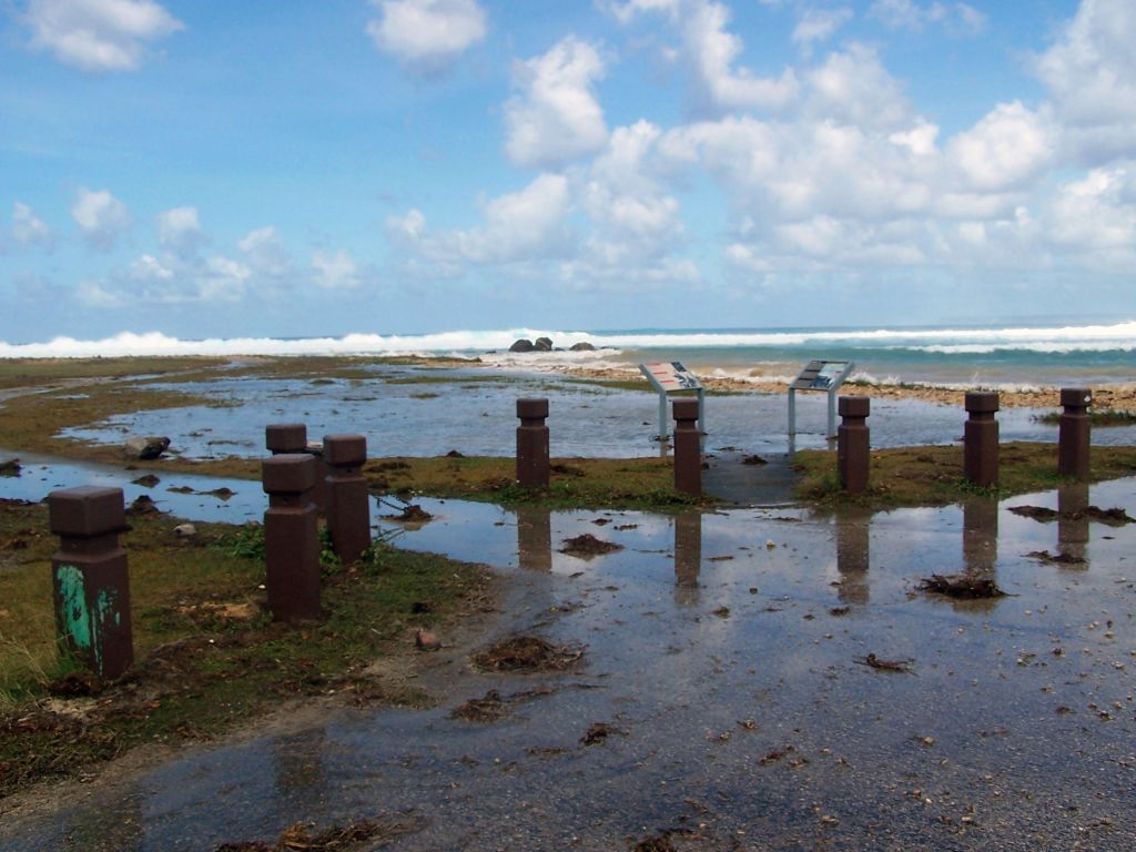
Hazard Exposure Reporting and Analytics: Impact of Sea Level Rise and Storms on Coastal Flooding Hazards

Communities face many natural hazards that threaten their safety, security, economic well-being, and natural resources. Understanding where hazards are possible in a community helps planners to make better decisions in reducing potential losses, preparing the public for future events, and recovering from disasters. Hazard maps provide community planners with an easy-to-use interface for understanding scientific information on hazard exposure.
The USGS Hazard Exposure Reporting and Analytics (HERA) project is focused on helping interested individuals, planners, and policymakers better understand how natural hazards may affect their communities. A PI-CASC funded project contributed important data that have been incorporated into this HERA tool on the impacts of sea-level rise and storms on coastal flooding hazards in Hawaiʻi, Guam, and the U.S.-Affiliated Pacific Islands.
PROJECT DETAILS
TYPE:
Tool
PEOPLE:
Curt Storlazzi
Research Geologist, Pacific Coastal and Marine Science Center, USGS
Borja Reguero
Institute of Marine Sciences, UC Santa Cruz
Camila Gaido
Ocean Sciences, UC Santa Cruz
Christopher Lowrie
Spatial Data Science, UC Santa Cruz
Cornelis Nederhoff
Pacific Coastal and Marine Science Center, USGS
Li Erikson
Pacific Coastal and Marine Science Center, USGS
Andrea O’Neill
Pacific Coastal and Marine Science Center, USGS
Michael Beck
Center for Coastal Climate Resilience, UC Santa Cruz

