Supporting sea-level rise preparedness in Hawaiian National Parks

On August 21, 2017, Honolulu Harbor observed the highest hourly water level since tide gauge record collection began in 1905. Throughout the course of 2017, the gauge registered an unprecedented number of high-water events. These record high sea levels were the result of a series of compounding factors: ongoing sea-level rise, seasonally-elevated high tides, and a region of warm water combining with ocean eddies.
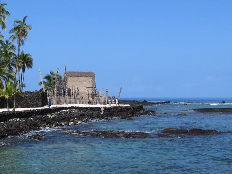
The threat of rising sea levels to the essential infrastructure and cultural assets of island communities is well known. However, inadequate information limits the ability of resource managers to predict and prepare for the impacts of sea-level rise and associated inundation. Researchers will address this issue by collaborating with the National Park Service to identify the specific needs of managers at two national parks in Hawaiʻi: the World War II Valor in the Pacific National Monument (VALR), which is home to the USS Arizona Memorial, and Pu‘uhonua O Hōnaunau National Historical Park (PUHO). These parks were impacted by the high water levels observed in 2017. Boat docks at VALR were compromised, and culturally sensitive archeological features were inundated at PUHO. As a result, park managers are trying to understand the implications of these events for the future of park assets and operations.
Building upon previous research efforts to better understand the frequency and implications of future coastal flooding and inundation events in the Pacific Islands, researchers will develop tools that provide the current status and advanced notice of the various oceanic conditions that contribute to high water levels. Researchers will work with park managers to determine relevant water level thresholds and planning horizons for VALR and PUHO, and identify at-risk assets and assess their vulnerability. The informational tools that will be developed will directly benefit these parks and will also serve as a basis for the development of similar products to aid managers of other coastal areas that are vulnerable to sea-level rise.
PROJECT DETAILS
FUNDED:
FY2018
PI:
Philip Thompson
Assoc. Director of UH Sea Level center, UH Mānoa

