Developing geospatial models in Hawaiian watersheds to mitigate erosion and climate change

As climate change influences rainfall and erosion in coastal areas in Hawai‘i, adaptation tools will be required to better manage watersheds and local landscapes. The goal of this project is to use contemporary remote sensing technologies to collect relevant GIS data that will ultimately be applied to models to inform future management strategies.
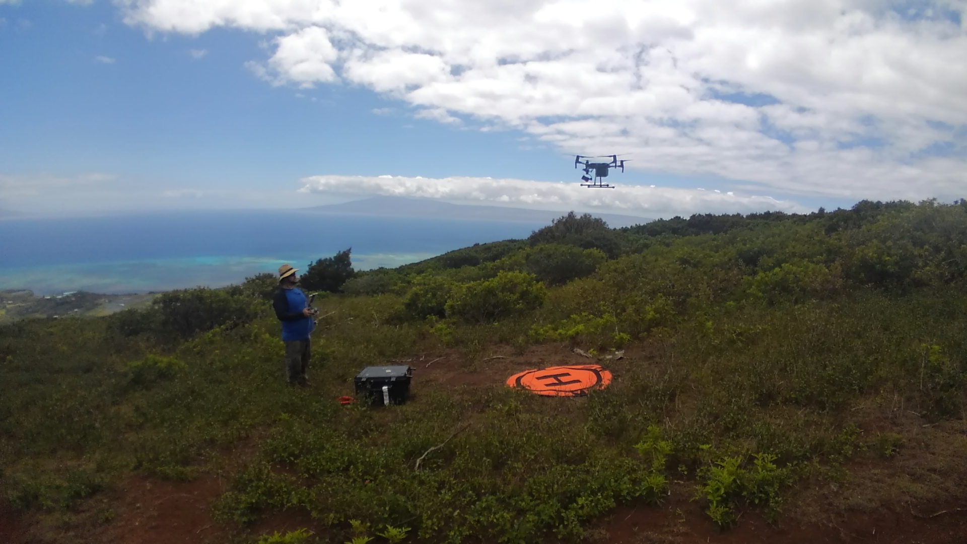
More specifically, this project is a collaborative effort, involving both community members and resource managers, to collect detailed topographic information via both local observations and remotely sensed data acquired using small unmanned aerial systems (sUAS). This microtopographic data will be used to develop digital elevation models (DEMs) and orthomosaic maps (detailed, accurate photo representations of an area) that will establish baselines and help in determining present-day erosion rates. Two dryland sites have been selected for this study: Kailapa, on the leeward side of Hawai‘i Island, an old agricultural area bordering a national historic site and at risk of excessive erosion; and the ahupua‘a of Keawanui, on the southeast side of Moloka‘i, which suffers from degraded ecosystems below the 2000-ft elevation level.
Beyond the DEM products of this study, the information will be used to develop models of habitat suitability and erosion rates. Those models can be then used on a local scale to better predict the movement of sediments and locate microtopographic features that can be used to identify areas susceptible to compaction and runoff. The final habitat suitability models will enable managers to decide the best land use practices (e.g., forest restoration, check dams, agriculture) for the specific study areas.
An additional component of this project is a substantial outreach element. Small UAS will be introduced to local Hawai‘i Island high schools during workshops for the students and further training is planned with a selected high school student and an undergraduate research intern. The application of these geospatial tools will bring together stakeholders to create restoration efforts in a collaborative way, integrating local knowledge on natural and cultural resources, planning, and climate change.
Project Collaborators
Graduate Student and Primary Contact
- Kimo Melcher (jmelcher@hawaii.edu), University of Hawaiʻi at Hilo TCBES Program
Faculty Co-advisors
- Ryan Perroy, Associate Professor, UH Hilo Geography and Environmental Studies, TCBES Program
- Rebecca Ostertag, Professor, UH Hilo, Biology, TCBES Program
Committee members
- Natalie Kurashima, Integrated Resources Manager, Natural and Cultural Resources, Kamehameha Schools
- Jene Michaud, Professor, Geology, University of Hawaiʻi at Hilo
PROJECT DETAILS
FUNDED:
FY2018
PI:
Ryan Perroy
Assistant Professor of Geography and Environmental Studies (TCBES), UH Hilo
Graduate Scholar:
Kimo Melcher
Tropical Conservation Biology & Environmental Science
UH Hilo
Co-PIs:
Rebecca Ostertag
Professor of Biology (TCBES)
UH Hilo
Natalie Kurashima
Integrated Resources Manager
Kamehameha Schools
Jene Michaud
Professor of Geology
UH Hilo

