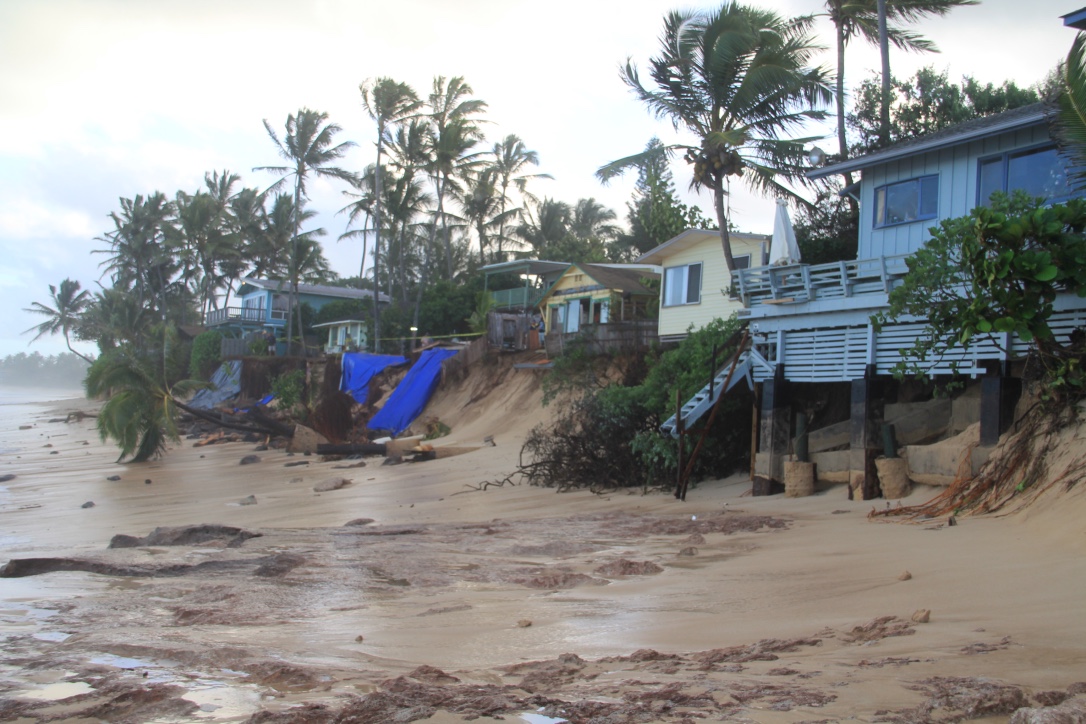
Empirical projection of future shoreline position and inundation due to sea level rise

The purpose of this research is to model shoreline response to rising sea level over the 21st century. This project entails development of a methodology for projecting future erosion hazard zones. The use of these projections by managers and community leaders will allow advanced planning for: 1) identification of future erosion hotspots, trouble areas, management concerns, community issues, and ecological conservation demands; 2) collision between migrating shoreline and upland development that will trigger permit requests for potentially damaging shoreline protection; and 3) sea level rise (SLR) adaptation measures such as roadway relocation, beach park redevelopment, public access planning, and land protection. Thus the primary goal of this project is to apply the model to all sandy beaches of Kauaʻi except for the Na Pali Coast, and produce GIS-compatible layers depicting future erosion hazard zones. Funding is also provided by the Hawai‘i Department of Land and Natural Resources in the context of the Hawai‘i Interagency Climate Adaptation Committee. The committee is using our data on projected erosion hazards to better understand the socio-economic and environmental impacts of coastal erosion due to rising sea level.
PROJECT DETAILS
FUNDED:
FY2012
PI:
Charles Fletcher
Professor of Earth Sciences, UH Mānoa

