This tool provides GIS map layers to illustrate the growth and survivability of corals under several future climate scenarios for reefs in Guam and American Samoa.
Maps
These maps address how climate change may shift plant distributions, particularly native endangered plants, within the Hawaiʻi Volcanoes National Park to help inform management of Special Ecological Areas.
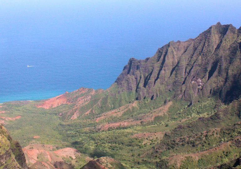
With changing climate possibly shifting the location and scale of suitable habitat for native Hawaiian plants, managers need concrete information, like these maps, on where likely best future habitats will exist to inform conservation decision making.
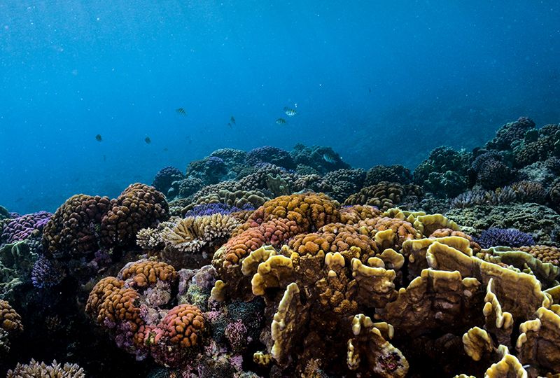
Reef resilience to environmental disturbances and changes vary considerably. These maps record reef resilience and vulnerability at sites across the Commonwealth of the Northern Mariana Islands to aid local coastal management and preparation.