Creating an Open-Access System for Climate Data Portfolios
May 31, 2025
A new tool that compiles climate data for a specific location within the Hawaiian Islands is now available online. The Climate Change, Climate Variability, and Drought (CCVD) portfolio, or climate portfolio, is a decision support and education tool developed by the Pacific Drought Knowledge Exchange (PDKE) to provide users with a comprehensive synthesis of site-specific climate and drought information.
Once a manual process and only available by request, the portfolio generation process is now an automated and open-access system, free for anyone to use.
“We wanted the portfolio to be user-friendly and accessible to land managers, property owners, researchers, students, educators, decision makers, and the general public,” said Derek Ford, project specialist at PDKE and code developer of the new online system.
The new system makes it easy to generate a portfolio, only requiring an area of interest and an email address. The user can choose from a list of preloaded geographies on a map, including ahupuaʻa, watershed, school complex, tax map ID, and others. Alternatively, there are tools available to draw unique boundaries to define an area of interest. The system then automatically generates a 40-page PDF that is sent to the email provided.
Portfolios include information on average monthly climate conditions, drought history and current status, air temperature, and rainfall, as well as seasonal rainfall trends and how those trends are affected by different El Niño-Southern Oscillation phases. It also provides visual resources such as maps, tables, and graphs, all paired with text explanations of what those figures say about that area.
In addition to climate data, CCVD portfolios also provide cultural information, water sources, and site descriptions, such as landscape divisions, area elevation, and land use cover.
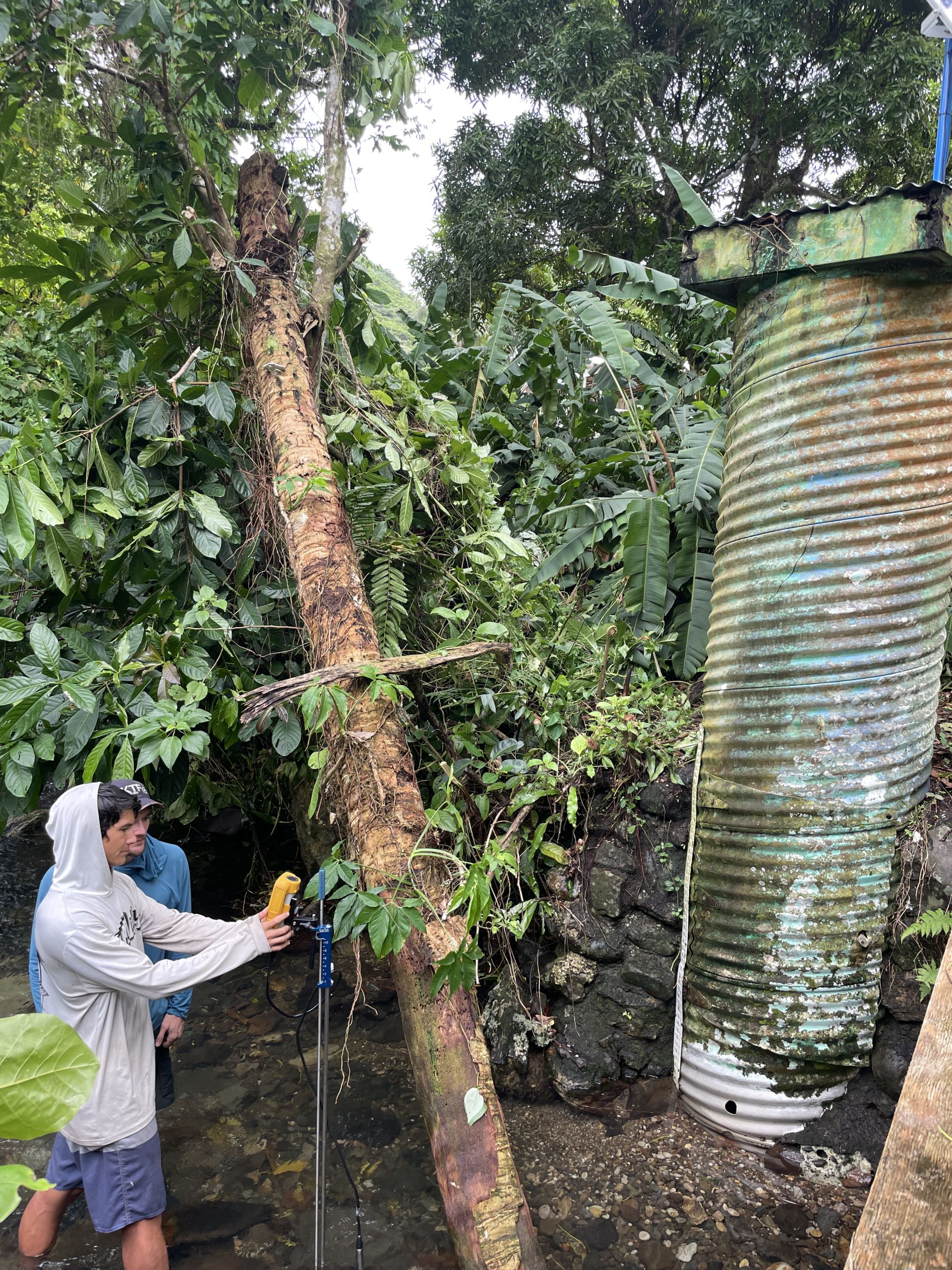
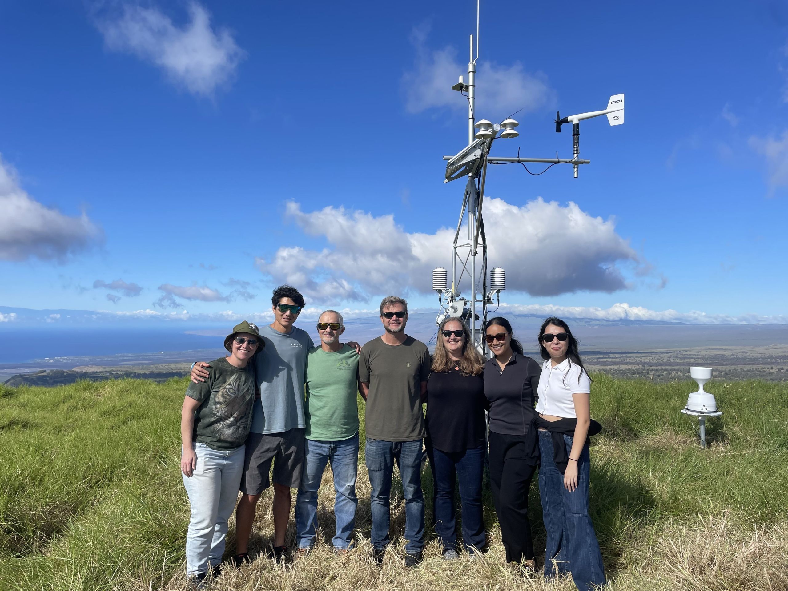
Much of the data is pulled from the Hawaii Climate Data Portal, an open-access platform that generates near-real-time climate grids that are updated daily, providing the most up-to-date information.
“All the data in the portfolio is publicly available through various published sources, so anyone could go online and pull the data they need. But those who’ve actually done that know that finding data, processing, and then formatting it into a usable product takes time,” Ford explains.
With little time and effort, the new automated system provides a shortcut to the climate data and information for a specific location. Users can also produce multiple portfolios as data is refreshed daily, and the development of portfolio content is ongoing.
“The goal of the climate portfolios is to inform land management decisions and to guide future research and extension, but we are now seeing it being used in a lot of ways,” said Ford. “From native plant restoration, ranching, agriculture, to establishing new water reservoirs in research and emergency management. We also see the potential to develop curriculum around the portfolios so that students in Hawaiʻi and beyond can engage with this information in meaningful and thought-provoking ways.”
A Product of Collaboration
The first version of the CCVD portfolio took shape during the pilot phase of PDKE, which was supported by the Pacific Islands Climate Adaptation Science Center (PI-CASC). PDKE is a project that was established to explore knowledge co-production among researchers and resource managers with the goal of expanding the utility of drought-related information for end users.
“A core principle of the PDKE is to develop meaningful data products with resource managers through a co-production approach,” explained Dr. Ryan Longman, PI-CASC University Consortium Director and PDKE co-lead. “We first piloted the project with three different land managers in Hawaiʻi, two of which were actually involved with the writing of the initial proposal pilot.”
In order to assess the drought-related management needs and ultimately create site-specific climate and drought products for these land managers, PDKE began creating climate portfolios for each partner individually.
“The first portfolio was around 80 pages long with information on sector-specific geography, and it was very manually intensive to put it together,” said Longman.
Soon realizing the need to automate the process to expand the utility to other folks, in 2021, they developed code that captured information from a range of state-wide gridded products so that information could be obtained for any geography. Although this version still required a manual request to initiate the process, the data extraction was automated.
In alignment with their co-production model, PDKE shared updated sample portfolios with 40 resource managers at a climate adaptation workshop.
“We started to truly see the value once we put these streamlined portfolios into people’s hands. Folks were connecting with their geographies in ways they had never done before, and were clearly appreciative to have this information. That information then became a resource for managers to think through real adaptation decisions,” Longman said.
Since that time, PDKE has broadened its sector-specific information and continued to work collaboratively with resource managers, incorporating feedback to improve the product.
“So far, we’ve produced portfolios for hundreds of users across the state,” said Ford. “We’ve made a lot of additions and are excited about our newest evolution, automating the whole process, making it accessible to more users.”
Ford and the PDKE team are planning to further develop the CCVD portfolios by adding information on fire risk, updated future projections, and adaptation scenario planning. They are also exploring options to create a version of the portfolios for other geographies in the Pacific, including Guam and American Samoa.
