
Big Island, big coastline:
Generating a shoreline inventory for Hawai‘i Island to increase resilience in the face of rising sea levels
with Dr. Ryan Perroy, Geography & Environmental Science/SDAV Research Laboratory, UH Hilo
February 1, 2022, 12:00-1:00 pm (Hawaiʻi time)
Note: This will be a hybrid event with both zoom availability and a limited numbers of guests (≤15) attending in person (masked and vaccinated) at the Hawaiʻi Institute of Geophysics (HIG) building, room 210, on the UH Mānoa campus. If you are interested in attending in person, please email rlentz at hawaii.edu.
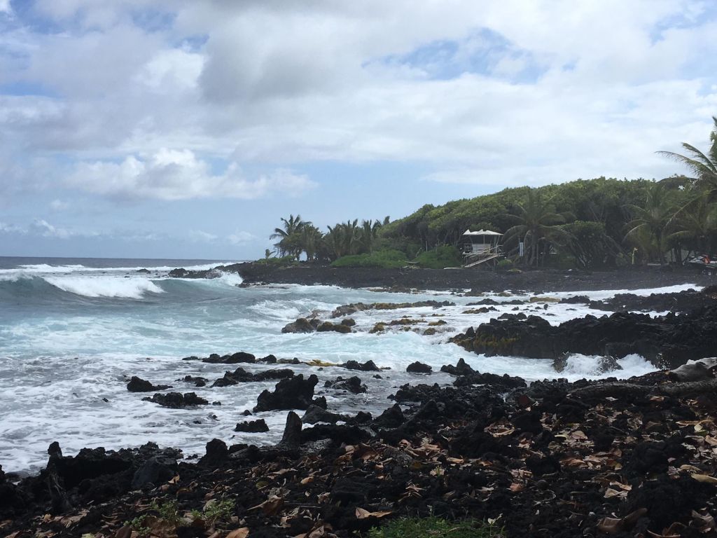 Hawai‘i Island, the largest and most diverse island in the Hawaiian archipelago, lacks a comprehensive detailed shoreline inventory. Dr. Ryan Perroy will discuss an ongoing project, in partnership with PI-CASC and the Hawai‘i County Planning Department, to generate this inventory for 428 km of coastline via the collection and processing of high-resolution imagery using a custom helicopter-mounted imaging system. The collected imagery and derived three-dimensional products are being used to identify areas most at-risk from sea-level rise impacts and should be a lasting resource as we grapple with the challenges of resilience and coastal resource conservation in a time of rising sea levels.
Join us for the next seminar of the “Slice of PI-CASC” seminar series hosted by the Pacific Islands Climate Adaptation Science Center! The series is designed for a wide audience to learn about climate adaptation research and science-to-management applications for Hawai’i, the US-Affiliated Pacific Islands, and beyond.