Researcher conducts drone and AI training to analyze agroforestry in Pohnpei, FSM
July 30, 2024
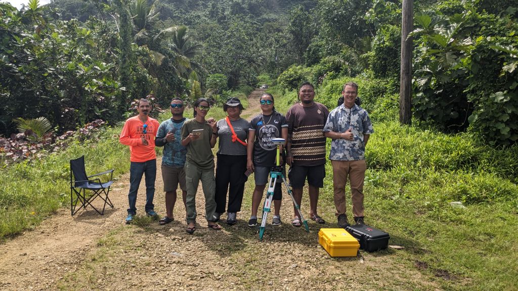
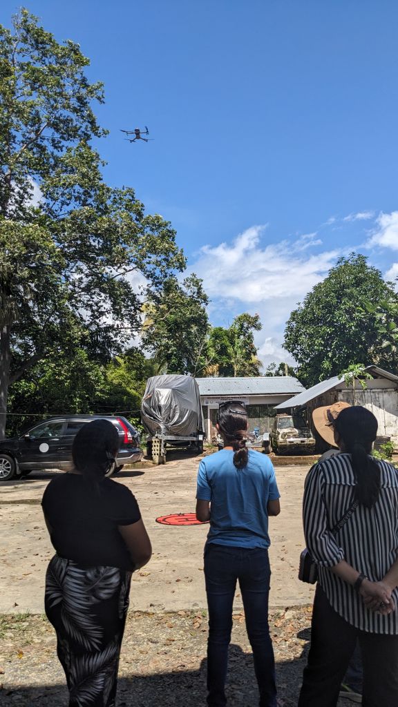
Last month, Ryan Perroy, principal investigator and professor of geography and environmental science at the University of Hawaiʻi at Hilo, visited Pohnpei in the Federated States of Micronesia (FSM) to hold a ten-day drone and image processing training workshop for state and national government officials as a part of a Pacific Islands Climate Adaptation Science Center (PI-CASC) research project. Perroy was joined by UH Hilo Assistant Professor Dr. Roberto Rodriguez from the Department of Aeronautical Science, and they also gave a presentation on agroforestry drone applications to College of Micronesia-FSM agriculture students.
“The training and equipment we were able to provide to our partners in Micronesia are going to have real impacts in terms of increasing increased ability to monitor and manage forest resources, particularly in upland areas,” said Perroy.
On remote Pacific Islands and outer atolls, agroforestry (cultivating and conserving trees for agriculture) provides food security and income to local communities. Growing instability from climate change and invasive species, like the coconut rhinoceros beetle, threaten these resources. Managing and sustaining agroforestry resources requires detailed and up-to-date knowledge of forest inventories and crop conditions.
 Perroy’s project, “Using high-resolution imagery and artificial intelligence to support climate change resilience in agroforestry across the Pacific” aims to enhance the capabilities of Pacific Island partners in monitoring agroforestry. This will be achieved by utilizing imagery from small unoccupied aerial systems (sUAS or “drones”) and employing artificial intelligence (AI) to analyze high-resolution imagery for the detection of coconut, pandanus, and other plant species, as well as to assess plant health conditions relevant to regional partners.
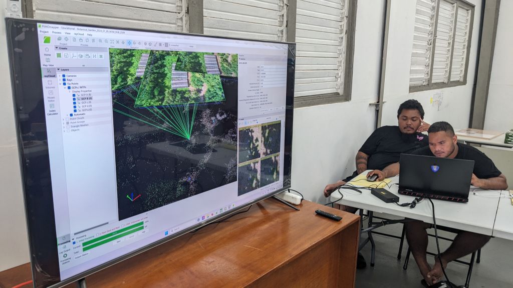
Participants engaged in the intensive, hands-on training using different types of equipment and software. This included small drone operations, Structure from Motion photogrammetry, Geographic Information System (GIS), a computer-based tool that analyzes data about geographic locations to help understand spatial relationships and patterns, and AI image analysis, all focused on agroforestry inventory and monitoring across FSM.
Although the training has ended, participants will continue to collect and share repeat imagery over agroforestry plots of interest in their home states. The drone-based imagery will be integrated with satellite imagery to explore forest health measures at a more regional scale. Nikki Henry, PI-CASC graduate scholar, and student in the Tropical Conservation Biology and Environmental Science Graduate Program at UH Hilo will conduct that work.
Perroy plans to visit Yap and/or Kosrae next summer to provide additional training to participants from those states.