How do Hawaiʻi’s Land Management Plans Consider Wildfire Risk?
Conflicts Between Urban Expansion, Wildfire Risk, and Conservation Goals
American Sāmoa | THURSDAY, JUNE 12 from 12:00-1:15 p.m.Hawaiʻi | THURSDAY, JUNE 12 from 1:00-2:15 p.m.Palau | FRIDAY, JUNE 13 from 8:00-9:15 a.m.CNMI & Guam | FRIDAY, JUNE 13 from 9:00-10:15 a.m.FSM | FRIDAY, JUNE 13 from 9:00-10:15 a.m. (Weno) / 10:00 am-11:15 p.m. (Palikir)RMI | FRIDAY, JUNE 13 from 11:00-12:15 p.m. New Zealand | FRIDAY, JUNE 13 from 12:00-1:15 p.m.
A Webinar Via Zoom By the Pacific Regional Invasive Species and Climate Change Management Network (Pacific RISCC)
Webinar Details:![]()
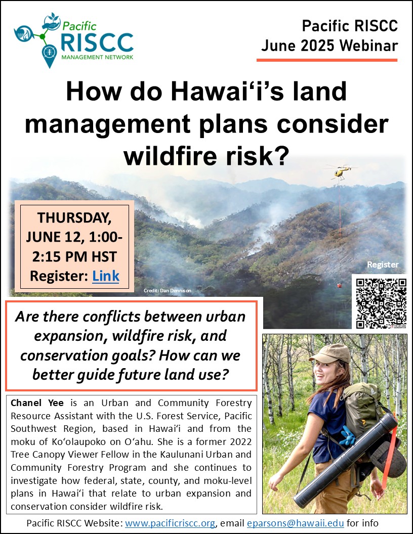
Title:
How Do Hawaiʻi’s Land Management Plans Consider Wildfire Risk? Conflicts Between Urban Expansion, Wildfire Risk, and Conservation Goals
Webinar Description:
Hawaiʻi is disproportionately impacted by wildfire, having a greater proportion of land area burned than the continental United States, and with anthropogenic ignitions largely responsible for fire occurrence. Coupled with fire-prone grasses that cover nearly 25% of the state’s land area and a projected warmer, drier climate, this anthropogenic activity exacerbates wildfire risk in Hawaiʻi’s leeward geographies. Hawaiʻi has several plans at the federal, state, county, and moku-level with various strategies, actions, or goals that guide future land use such as urbanization or conservation, yet it is unclear how these plans influence wildfire risk or consider wildfire risk mitigation. This presentation will reveal results from a plan analysis that was conducted on federal, state, and county plans relevant to North Kona & South Kohala on Hawaiʻi Island, and Waiʻanae on Oʻahu. I will present how these plans broadly consider wildfire risk as well as any conflicts or synergies between their urbanization and conservation strategies, actions, or goals in relation to wildfire risk mitigation. These results may be used to inform future planning in Hawaiʻi that integrates wildfire risk mitigation actions across state and county plans and supports conservation goals.
Speaker details:
Chanel Yee is an Urban and Community Forestry Resource Assistant with the U.S. Forest Service, Pacific Southwest Region, based in Hawaiʻi and from the moku of Koʻolaupoko on Oʻahu. She is a former 2022 Tree Canopy Viewer Fellow in the Kaulunani Urban and Community Forestry Program and continues to investigate how federal, state, county, and moku-level plans in Hawaiʻi that relate to urban expansion and conservation consider wildfire risk. She will continue to explore these relationships as a masters’ student in the Natural Resources and Environmental Management Program at the University of Hawaiʻi at Mānoa in Fall, 2025.
Relevant Links:
Yee, Chanel 2025 How do land management plans in Hawaiʻi consider wildfire risk? Conflicts between urban expansion, wildfire risk, and conservation goals. PDF copy of the presentation slides are available here: (link).
Yee, Chanel 2022 Wildfire Risk and Urban Expansion in South Kohala and North Kona, Hawaiʻi: Assessing new and existing areas of wildfire risk in relation to Hawaiʻi’s fire history, land cover, and tree canopy, through the lens of urban expansion. Technical Report, pages 1-16, https://dlnr.hawaii.gov/forestry/files/2024/03/Yee_TechnicalReport.pdf